
Advanced GPS &
Fleet Telemetry Solutions
Gain sub-meter asset visibility, automated route optimization, and instant geofence telemetry with AYKA's high-frequency GPS tracking systems engineered for mission-critical logistics and industrial fleet security.
Mission-Critical System Architecture
Explore how raw orbital satellite signals are captured by on-vehicle edge units, encrypted over dual uplinks, and processed through cloud geo-spatial engines for real-time dispatch.
End-to-End Geospatial Data Flow
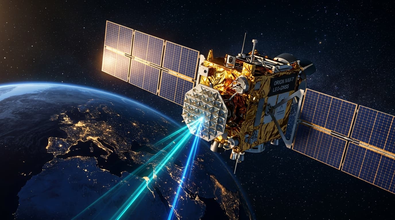
Multi-Band Satellite Link
High-sensitivity receiver locking onto GPS, GLONASS, Galileo, and ISRO NavIC orbital satellites with differential correction for sub-2.5m position lock.
{"lat": 22.57264, "lng": 88.36389, "alt": 14.2, "sats": 18, "hdop": 0.8}Tactical Fleet Radar & HUD
Simulated real-time asset telemetry viewport demonstrating sub-second geofence breach tracking, CAN-Bus vehicle diagnostics, and over-the-air engine immobilization.
Live Fleet Geospatial Telemetry HUD
Heavy Hauler #01
Volvo FMX 460 Tipper • WB-02-AX-8912
Engineered for Extreme Operational Demands
Select an operational domain below to inspect technical parameters, automated protocols, and statutory compliance features.
Polygon Geofencing & Corridor Alerts
Draw complex multi-point polygon boundaries and scheduled corridors. Receive instant push notifications the exact second an asset breaches or deviates from an authorized logistics path.

Ready to Upgrade Your Fleet with High-Precision Telemetry?
Connect with AYKA's telematics engineers to schedule a live hardware demonstration, pilot custom geofencing pipelines, or integrate CAN-bus telemetry into your enterprise ERP.